About the Centre for GIS | ▼ |
| What is Geographic Information System?
GIS is a tool used to gather, transform, manipulate, analyze, data to produce information related to the surface of the earth. This data may exists in cartographic form , 3D models, databases and or lists. In Short GIS combines layers of information and shows visually, if need be, the special relationship between geographical objects.
Where is the Centre for GIS
The Centre for GIS and IT support Services is located on the First Floor of Independence House, in the Ministry of Land Use and Housing.
Centre for GIS has a dynamic team which consists of 6 members of staff.
Why GIS in Seychelles?
- The main reason for GIS is cost effective and reliable. Most of the outputs are visual and easy to obtain the desired queried information to make fast decision.
- It aims to facilitate the systematic and organized implementation of GIS in Seychelles, providing GIS related services and training, simplifying data transfer between agencies, users and applications, minimizing data redundancy, and ensuring suitably trained personnel are available to operate and manage the various components of the system.
- Information Technology Support Services
- Provide IT support within MLUH in collaboration with DICT
|
 Projects of the Centre for GIS | ▼ |
|
- Land Use Mapping
- Sensitivity Atlas
- MBDP
- Geodatabase
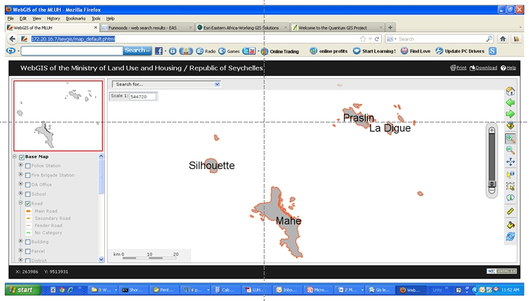
- WebGIS
- Data Collection
- Disaster Management
- Climate Change
- Benthic Reef Habitat Mapping
- FAO
- Innovation Awards
|
GEODATABASE ILLUSTRATION | ► |
| |
LAND USE MAPPING ILLUSTRATION | ► |
| |
SENSITIVE MAPPING ILLUSTRATION | ► |
| |
|
|
|